Map
Windy
Classic map
Take off
PPG
More
Parking
Landing
Winch
Meteo
School
Club
Company
Shop
Airport
Wiki
API
About Paragliding Mapa
CZ
EN
PL
DE
HU
Take off - Srebrna Góra
edit
0° - 90°
Wind direction
540 MAMSL
Altitude
140 m
Superelevation
50.5712N 16.6583E
Show on map
Windy
Classic map
Cesium 3D
Google Maps
Mapy.cz
Oficiální (neplacené)
Flying state
?
Taxes
Weather forecast
XCMeteo
Windy
Region
Polsko - Dolnośląskie
Info
http://www.paralotnie-sudety.pl/startowiska/opis/srebrna-gora/
Flights
xcontest.org
- last start: 9.5.2026 15:11
Photos
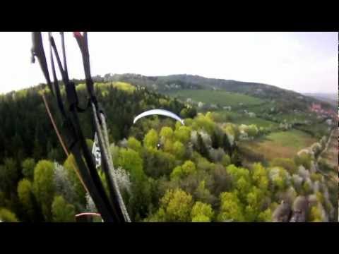
Video
Next photos and videos